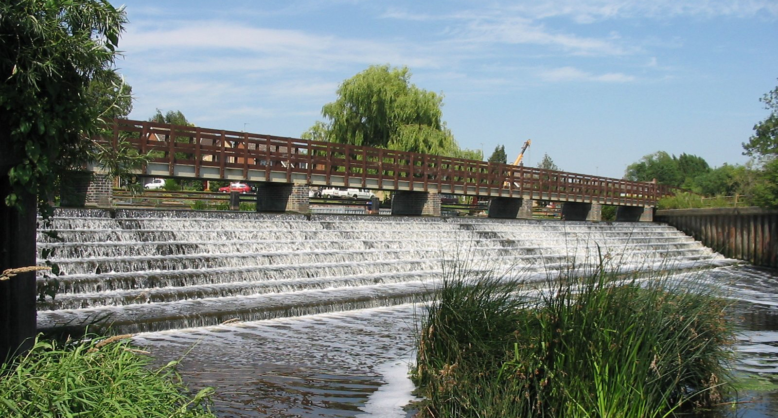
 Barrow New Weir
 Barrow New Weir
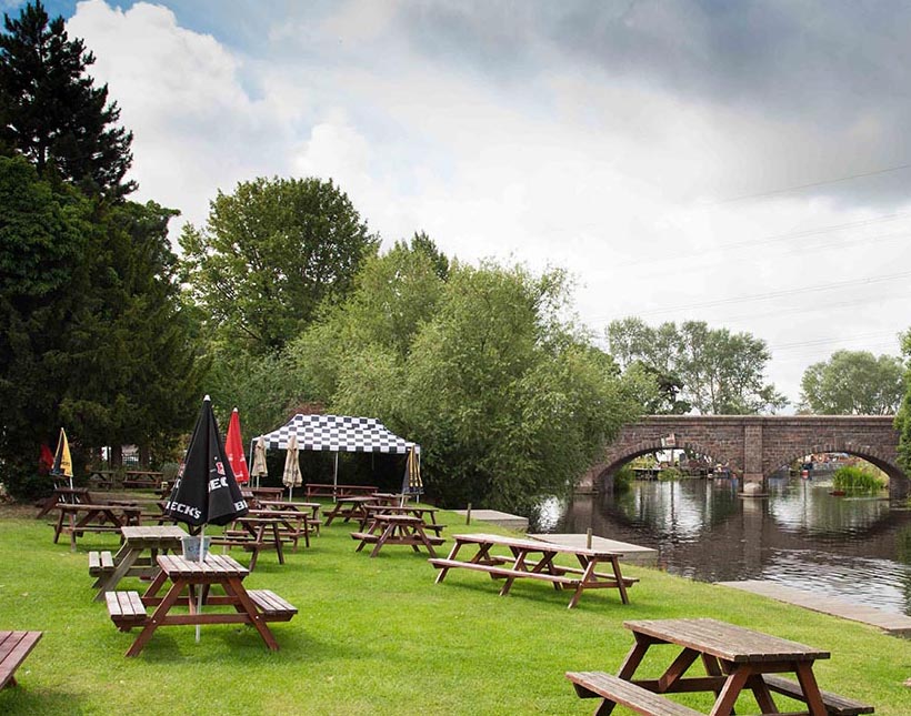 The Moorings riverside garden
Distance: 2.5 miles (4km)
Time to complete: 1.5hrs
Difficulty: Easy
Portages: 1
Weirs: 1 with option to portage
Gauge readings: 2142 (0.7 - 1.8m>)
Start: The Moorings Pub,
Barrow upon Soar
Map reference: SK573174
Post Code: LE12 8PN
Alternative start:
Barrow Boating, Barrow upon Soar
Map reference: SK577168
Post Code: LE12 8LQ

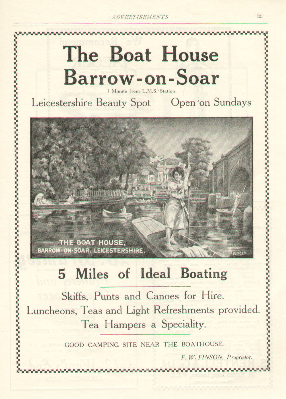 Advert from 1925 for the Boat House - now renamed The Moorings
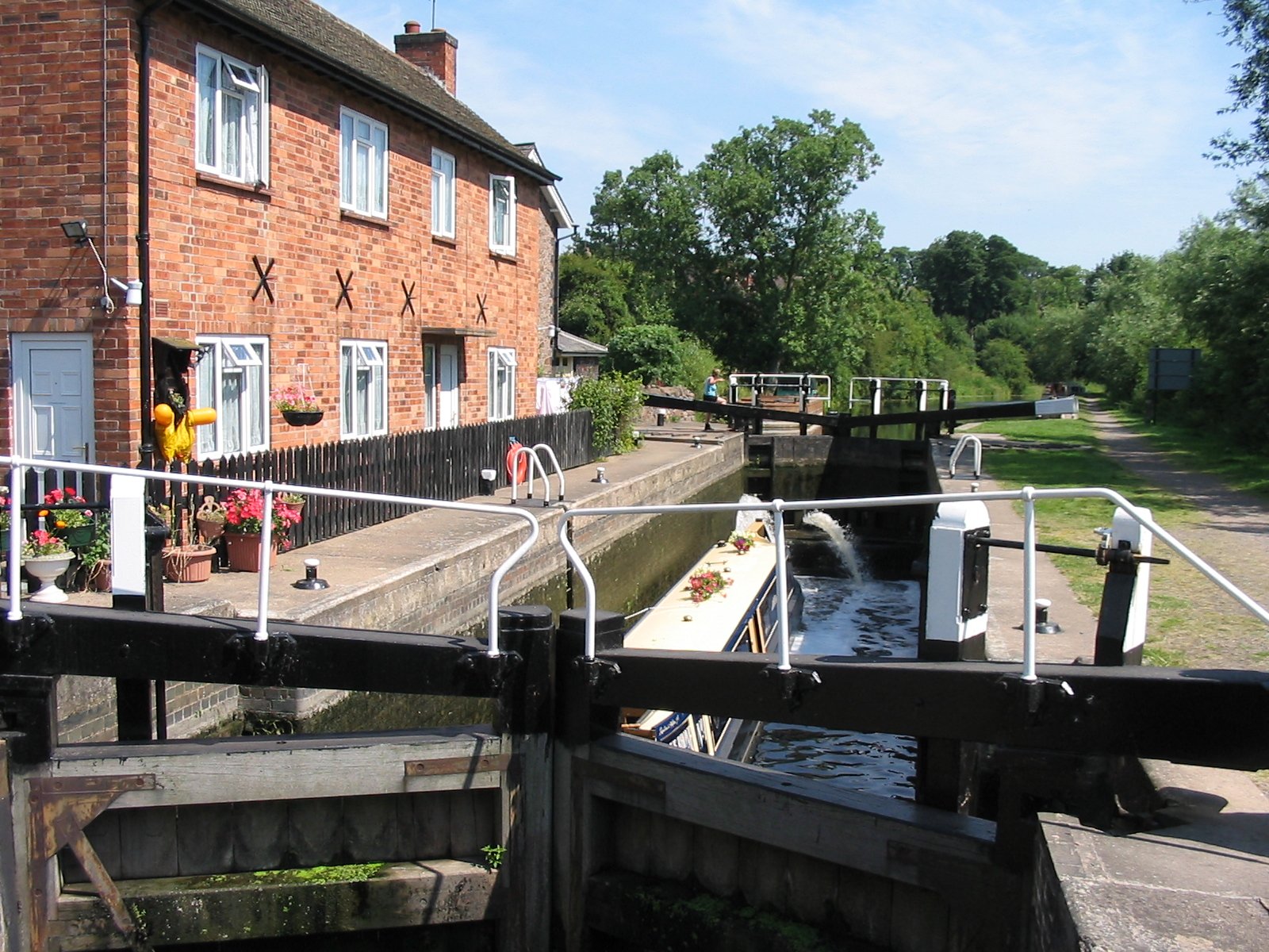 Barrow Deep Lock
A short loop paddle which includes, a stretch of canal with a deep lock, weir and pretty willow lined length of the River Soar in North Leicestershire. Ideal for a paddle without the need to shuttle. Two pubs and a coffee shop are enroute and boat hire is available. There are options to extend the loop to include Mountsorrel (5.4m) or head off to Loughborough.
There are separate pages for the Mountsorrel Eight and Loughborough Loop.
Start at the Moorings Pub. Parking is available, please contact the pub, preferably in advance of your visit or on arrival. Please find time for a drink or meal at the pub in return for their hospitality. An alternative start point is Barrow Boating which also hire boats although parking is tight or on local streets.
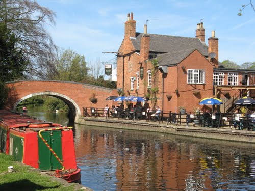
Starting from The Moorings, head under the road bridge (which has a grade II historic listing) and turn left into the cut after 100m a portage from the left bank is required. It runs over a service road to Proctor’s Pleasure Park and around the lock re-launching onto the canal on the right hand side above the lock. Continue along the canal for 600m until you reach Mill Lane Bridge. On the left bank is The Navigation Pub and on the right bank is Barrow Boating. Both the pub and seasonal café at Barrow Boating have toilet facilities. 200m beyond the bridge is Barrow New Weir on the right. The weir can be shot with care, passing through the gap in the Armco barrier. Alternatively portage down the right-hand side of the weir to the pool below.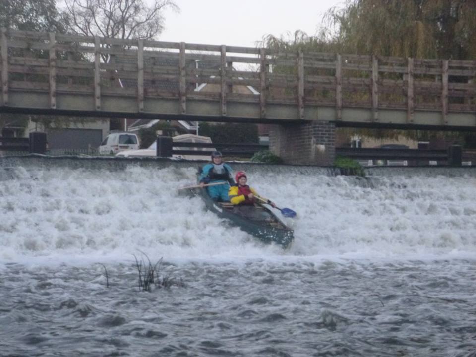 Canoe shooting Barrow Weir
The portage point is before the weir and is clearly marked. The weir barrier has an open section towards the middle to allow for paddlers to shoot the weir. An inspection can be made from the footbridge running over the top of the weir. Care should be taken to check the clearance under this footbridge in high waters. If you are unsure, use the portage point and re-launch from the small beach below the weir.
 Navigation Pub
This next section is on the natural course of the River Soar as it twists and turns towards Quorn. After a sharp right hand bend there is a large reed bed with a clear ‘S’ shaped channel leading to a metal footbridge. In very high water the clearance on this bridge can be very restrictive. An inspection from the left bank of the right hand bend in such conditions will inform the need to portage or, as has been the case, paddle in the field! Below the footbridge is one of the A6 road bridges and a more open flood plain. Power lines cross and lead to Mountsorrel quarry to the left of the river. The ‘Duke of Bridgewater’ on a left hand bend is the second canal boat that has made it upstream in winter floods to be used as a residential houseboat. The willow-lined river continues and turns as it approaches the old A6 entering Quorn. The river goes under another recently restored footbridge before passing Quorn Hall on the left bank. The Hall was built for the Quorn Hunt and housed the kennels. The navy commandeered it during the second war and the dominant brick extension was built. More recently it was a residential centre and canoe base for Leicestershire County Council but was sold in 2012. Past the grounds of the Hall, is a second bridge carrying the new A6 dual carriageway. A sharp left follows a sharp right bend and then the right hand bank is lined with residential houseboats. A return to the starting point is 250m from the bend to complete a 4k (2.5 mile) round trip.
We'd love to hear from you if you have done this paddle,
spotted a correction or just want to say hello!